Choose Valley of Fire for the shortest of these outings, Grand Canyon West for a canyon day trip, the South Rim for a longer visit, and Death Valley for a carefully planned desert drive in suitable conditions. They are separate trips with different roads, fees and weather. Trying to combine them into one day would spend most of your time behind the wheel.
Start with your available daylight, the forecast and your passengers’ tolerance for driving. A two-hour map estimate is not a two-hour door-to-viewpoint trip: leaving a Strip garage, buying supplies, entering a park and parking at stops all take time. The routes below are planning outlines, not live road-condition reports.
Valley of Fire: the most manageable short escape
The usual direct approach from Las Vegas follows I-15 north to exit 75, then Valley of Fire Highway toward the west entrance. Use the official Valley of Fire park page to check current entry arrangements, conditions and closures before leaving.
For a first visit, plan a scenic drive with selected stops instead of committing to a long list of hikes. The red sandstone is the reason to go; you do not need to cover every trail to make the journey worthwhile. Stay in designated parking areas and allow other drivers space to stop safely.
The park lists annual closures from May 15 through September 30 for several trails, including the Fire Wave/Seven Wonders area and White Domes Loop. A social-media photo of those routes is not evidence that they are open for your date. Check the current notice even outside that period, and avoid treating a dawn start as permission to enter a closed trail. The park also lists an annual maintenance closure from December 1 through December 14, including visitors arriving on foot. Its July 28, 2026 construction notice says the West Entrance closes Monday through Thursday beginning August 3, with work expected through the end of 2026, and directs those visitors to the East Entrance via State Route 169 or 167. Check current notices before using the usual west-entrance approach described above.
Grand Canyon: choose West or South Rim before you navigate
Grand Canyon West
Grand Canyon West is operated by the Hualapai Tribe; it is not the South Rim of Grand Canyon National Park. The approach from Las Vegas uses the US-93 corridor into Arizona, then Pierce Ferry Road and Diamond Bar Road. Confirm the destination and current directions before setting off.
This is the more manageable canyon option for many Las Vegas day-trippers. Compare the current admission and attraction inclusions carefully, particularly if the Skywalk is the main reason for your visit. Do not assume a national-park pass covers a separate tribal attraction. Leave room in the schedule for entry and the on-site transport arrangements.
Grand Canyon National Park’s South Rim
For the South Rim, the conventional route runs toward Kingman, east on I-40 to Williams, then north on AZ-64. The National Park Service places the South Rim about 60 miles north of Williams. That last stretch comes after a substantial drive from Las Vegas.
Consider an overnight stay if you want time at viewpoints without a tiring late return. A same-day drive can be possible, but it is a long outing, especially with children or only one driver. Check the South Rim forecast separately from Las Vegas: higher-elevation conditions, including winter weather, can change the plan.
Our South Rim versus West Rim guide goes deeper into that choice. Choose the rim first, then compare independent driving with an appropriate tour.
Death Valley: a route and season decision
The National Park Service directions should guide your planning. A common approach follows NV-160 through Pahrump, then Bell Vista Road and State Line Road to Death Valley Junction, connecting to CA-190 toward Furnace Creek. Check current closures instead of accepting an unfamiliar unpaved shortcut from navigation software.
Death Valley works best when you choose a small number of destinations and give the landscape time. Furnace Creek, Badwater Road and other stops are separated by real driving distance. Fuel and services are limited compared with the Las Vegas Valley, so begin with sufficient fuel or charge and verify any stop you are depending on.
Read the park’s safety guidance before deciding on a hot-weather visit. NPS warns against hiking at low elevations when it is hot, notes limited or absent cellular service, and advises substantial water supplies. A comfortable air-conditioned drive does not make a midday walk safe.
Prepare the car before leaving Las Vegas
- Check tires cold using the vehicle placard, inspect their condition and know what spare or repair equipment you have.
- Resolve cooling-system, battery or warning-light problems before taking a remote route.
- Carry drinking water plus an emergency reserve, food, sun protection and a charged phone.
- Download maps and share your route and return plan with someone.
- Check park alerts, the actual destination forecast and the return route.
- Fuel or charge before leaving the urban area and verify planned refueling or charging stops.
If you break down, move out of traffic only when safe, use appropriate warning signals and contact roadside assistance or emergency services as circumstances require. In a remote area, do not set off across unfamiliar desert to look for help. Follow the park’s emergency guidance, and do not open a hot radiator or coolant reservoir.
Tint belongs in the comfort plan, not the emergency plan
For owners who regularly make these drives, a pre-cut MotorPeak Supply kit may be worth comparing as an optional glare and solar-control upgrade. Choose compliant film for the vehicle and the places you drive; tint does not replace air conditioning, water or mechanical preparation. Do not modify a rental car.
If you are still deciding whether to drive independently, start with our Las Vegas day-trip car rental comparison. Build one achievable day around the destination, and leave enough energy for the drive back.
Plan your next step
How to Keep Your Car Cool in a Las Vegas Summer · Moving to Las Vegas: Your Car Registration, Smog and Heat Checklist
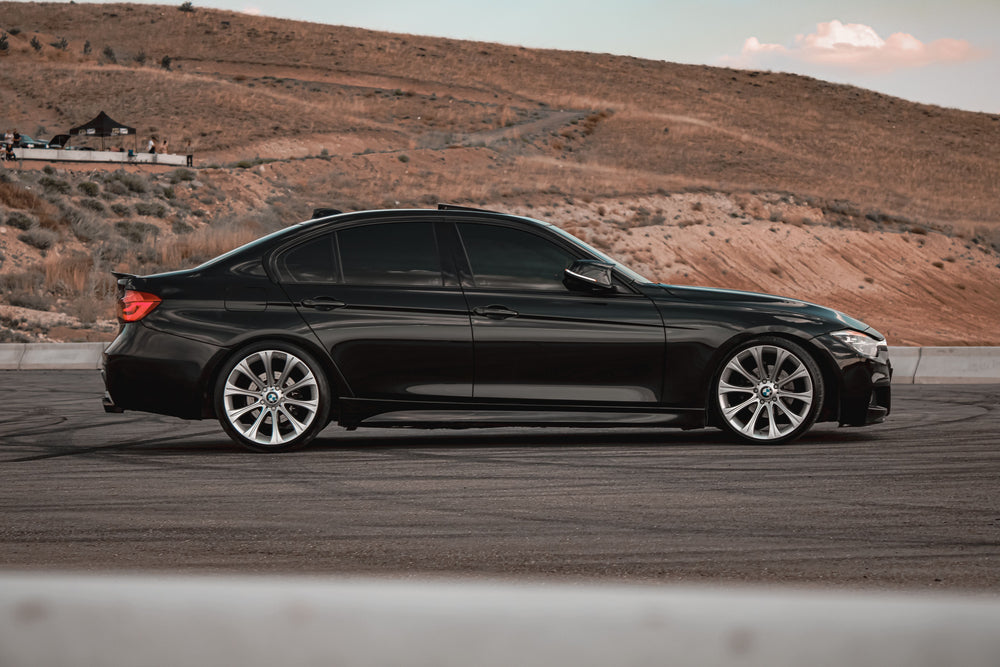
Featured photo: Emre Aslihak, from MotorPeak Supply’s gallery. Illustrative photo; not an exact film shade or a photograph of the routes described.
Leave a Reply